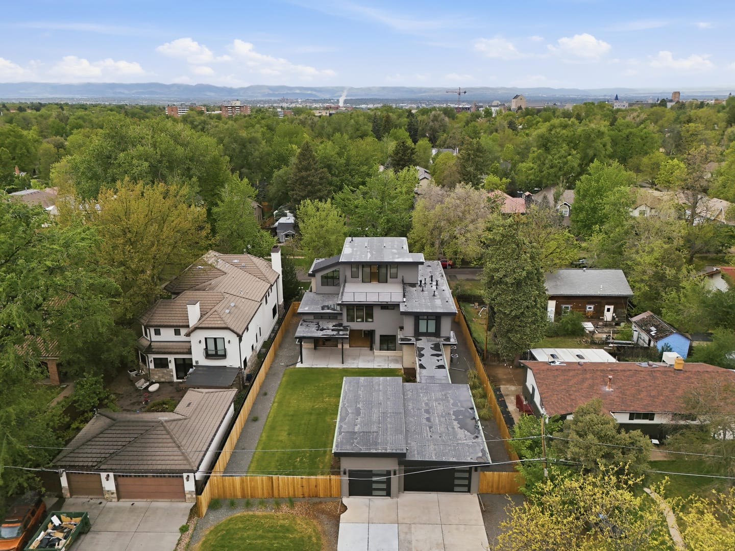
A quiet block, and a well-placed one: light rail at the university, the interstate two miles west, Cherry Creek to the north and the Tech Center to the south. Choose how you move; the map and the list follow.
Chamberlin Observatory0.28 mi N
Observatory Park0.31 mi N
Newman Center for the Performing Arts0.50 mi W
University of Denver0.66 mi NW
University of Denver Station0.75 mi NW
Wellshire Golf Course1.2 mi SE
I-25 at Evans2.0 mi W
Old South Pearl Street2.0 mi NW
Washington Park2.2 mi NW
Cherry Creek3.1 mi N
Denver Tech Center4.3 mi SE
Downtown · Union Station6.1 mi NW
Denver International Airport19.4 mi NE
Schematic, not to scale. Distances are straight-line from the residence, computed from coordinates. Travel times are not shown until verified against current routing and RTD service; they vary with traffic and service.
Rail
The E Line, 0.75 mi away.
University of Denver station (1901 S Buchtel Blvd) is served by RTD's E Line and H Line. The E Line runs north to Union Station and south to RidgeGate through the Tech Center. During RTD's downtown rail reconstruction, H Line trains have been running Florida ↔ Southmoor, with a transfer to the E Line for downtown; a network-wide service change takes effect 27 September 2026. Check current service before you travel.
Evans Avenue runs west to the interstate; University Boulevard and Colorado Boulevard carry you north to Cherry Creek (3.1 mi) and south toward Hampden and the Tech Center (4.3 mi). Downtown is 6.1 mi by the straight line; the airport 19.4 mi to the north-east via I-25 and I-70.
Bike
Bike Score 76.
Very Bikeable. The grid is flat and shaded; the university, Old South Pearl and Washington Park are comfortable rides, and the Cherry Creek Trail runs the length of the city to the north.
Walk
Walk Score 52.
Somewhat Walkable, which is honest: this is a residential street. The park, the observatory and the Newman Center are on foot; groceries and most errands are a short drive or ride.
Scores: Walk Score®, via listing syndication, 2026-09-04. Station and line information: RTD, checked 2026-09-04.